 Paikkatietohakemisto
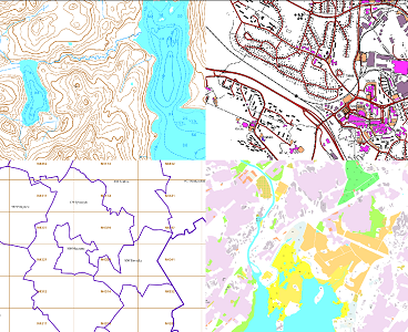
Imagery base maps earth cover
Type of resources
Topics
Keywords
Contact for the resource
Provided by
Formats
Representation types
Update frequencies
Scale
-
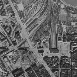
An aerial photograph is a photograph of the terrain taken from an aeroplane. The images are vertical photographs applicable to be used in mapping. The aerial photographs are reprocessed into dimensionally accurate images called orthophotos. Aerial photographs are available since the 1930s, depending on the area. Aerial photographs are available in black and white, colour and false colour. The size and accuracy of aerial photos depend on the camera, photography scale and altitude or ground sample distance (GSD). The product belongs to the open data of the National Land Survey of Finland. Aerial photographs can be ordered by pieces that cover a certain area. The latest orthophotos based on the aerial photographs can be downloaded free of charge from the File service of open data.
-
National Land Survey's geographic names are available as interfaces and files. Interfaces and file products comprise of place name products and map name products. The place name products include data about approximately 800,000 named places and their names in different languages. Data about place are among others place type, plane location and height above sea level, and data about names are among others the spelling that has been checked by the Institute for the Languages of Finland and language (Finnish, Swedish, Northern Sami, Inari Sami or Skolt Sami. In the place name products, every place and its name or names appear only once. The map name products contain the place names that have been selected for the National Land Survey's nine standard map products and information about the cartographical presentation of them. The information includes the location of the name on the map, for instance the coordinates of the left lower corner of the map text, the direction and bending of the text as well as typographical information, such as font type, size and colour. The name of a particular place, such as a river, can appear several times in the same map product. The product is a part of the open data of the National Land Survey.
-
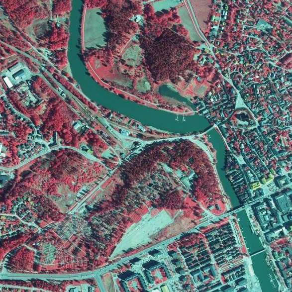
NLS Orthophotos are an aerial photo dataset covering the whole of Finland. An orthophoto is a combination of several individual aerial photos. The geometry of the orthophotos corresponds to a map. The aerial photo data set in orthophoto format is available as - the most recent data set consisting of the most recent aerial photos available. The most recent data is usually 1–3 years old. - old aerial photos, consisting of data sets that are older than the most recent data set. The oldest aerial photos were taken in the 1930s. New data is added to the data set continuously. NLS Orthophotos are updated every 3 years (in Northern Lapland 12 years). Different versions of orthophoto products: - Ortophoto - Ortophoto (false colour) - Ortophoto (forest ortho) - Ortophoto (natural disasters) The product belongs to the open data of the National Land Survey of Finland.
-
National Land Survey's Topographic map in vector format is a dataset depicting the terrain of all of Finland. The most important elements are the road network, administrative borders, preservation areas, population centres, geographic names, waterways, land use and elevation. The largest scale level (1:100,000) of the Topographic map in vector format is produced by generalising from the Topographic database. Topographic map 1:250,000 is produced by generalising the dataset 1:100,000. Topographic map 1:1,000,000 is produced by generalising the dataset 1:250,000. Topographic map 1:4,500,000 is produced by generalising the dataset 1:1,000,000. The geographic names have been generalised from the geographic names in the Geographic Names Register to map names suited to the scale in question. The administrative borders in the Municipal Division of each scale are used as administrative borders. The product belongs to the open data of the National Land Survey of Finland.
-
The themes of the Topographic database and Topographic map raster series (scale 1:10,000) have been compiled into seven theme entities, theme rasters, required by the Inspire directive: hydrography, elevation, traffic network, land use, land cover, place names and buildings. In addition to the above, the theme rasters also include the municipal division, road names and map sheet division as separate themes. The theme rasters have not been implemented according to the imaging technology defined in the Inspire directive. They will be produced later. The product belongs to the open data of the National Land Survey of Finland.
-
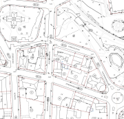
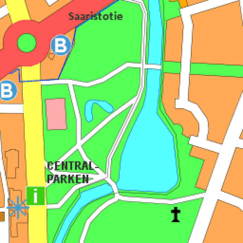
The Topographic map is a dataset depicting the terrain of all of Finland. The key elements in it are the road network, buildings and constructions, geographic names, waterways, land use and elevation. The more precise levels of the Topographic map consist of the same map objects and map symbols depicted in the same way as in the familiar Basic map. Basic map raster is applicable to be used, for instance, as a base map for planning land use or for excursion and outdoor recreational purposes in mobile devices and in various Internet services associated with nature. When going over to the more general datasets in the Topographic map, the number and visualisation of objects and map symbols changes. The generalised small-scale Topographic maps raster are applicable to be used as approach maps in e.g. mobile devices and Internet services. The product belongs to the open data of the National Land Survey of Finland.
-
-
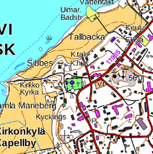
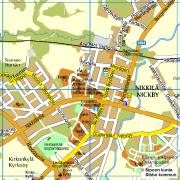
Guidekartan är en generaliserad kartprodukt med en skala på 1:20000. Guidekartan täcker stadens huvudöar. Uppdatera en gång i månaden.
-
-

The Topographic database is a dataset depicting the terrain of all of Finland. The key objects in the Topographic database are the road network, buildings and constructions, administrative borders, geographic names, land use, waterways and elevation. Aerial photographs, scanning data and data provided by other data providers are utilised in updating the Topographic database. The updating is done in close cooperation with the municipalities. Field checks in the terrain are also needed to some extent, mostly as regards the classification of features. The topographic database is used in the production of other map products and in various optimisation tasks. The product belongs to the open data of the National Land Survey of Finland.